Paint the world
About Maperitive
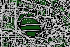
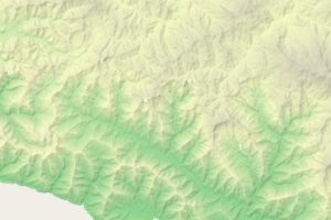
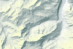
Maperitive is a FREE desktop application for drawing maps based on OpenStreetMap and GPS data. You can define what gets on the map and how it is painted. You can also export these maps into bitmaps and SVG files and print them.
Read the Two-Minutes Introduction to Maperitive.
Donations
If you find Maperitive useful and you think the author should get some reward out of his hard work, please consider donating (through PayPal). Thanks!
Download
See Maperitive In Action!
- Hiking Web map hosted on MapBox
- Oxford Bus & Cycle Map
- Maperitive Flickr photostream
Features
- text-based stylesheets
- web tiles generator
- supports MBTiles from MapBox
- generates relief contours with labels
- hillshading and elevation coloring
- export to PNG, JPG & others
- export to SVG (Inkscape, Adobe Illustrator)
- command-line headless console
- GPX support
- OSM web maps browsing
- 3D export into COLLADA format
- OziExplorer and Google Earth support
- data query language
- embedded scripting Python API
What Do I Need?
-
One of these:
- Windows: XP SP3 or later with Microsoft.NET 4 installed.
- Linux and Mac: latest Mono installed.
Help & Documentation

Looking for royalty-free vector maps?
Please visit ScalableMaps website where you can purchase various quality and affordable pre-made vector maps of the whole world in SVG, Adobe Illustrator and PDF formats. You can also order custom-made maps, we are at your service!Videos & Tutorials
Maperitive short demo (5 mins, no audio)
Samples & Screenshots
Hillshading
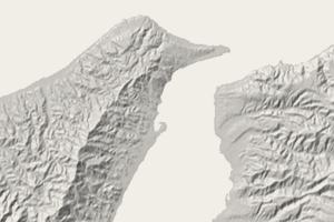
Strait of Messina, Italy
Relief Contours
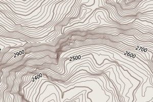
Alps, Italy-Switzerland
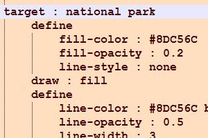
Style Sheets
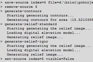
Scripting & Automation
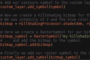
Python API
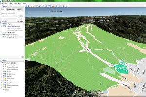
Import In Google Earth
Copyright © 2010-2012 Igor Brejc
Some map data © OpenStreetMap (and) contributors, CC-BY-SA


